Northeastern Cities Brace for Lingering Clouds, Gusty Winds, and Potential First Frost
In Hartford & New Haven, Sunday is expected to be cloudier with a chance of light rain, followed by breezy conditions on Monday with winds gusting up to 25-30 mph. Sunshine will return from Tuesday onward, though some areas might…
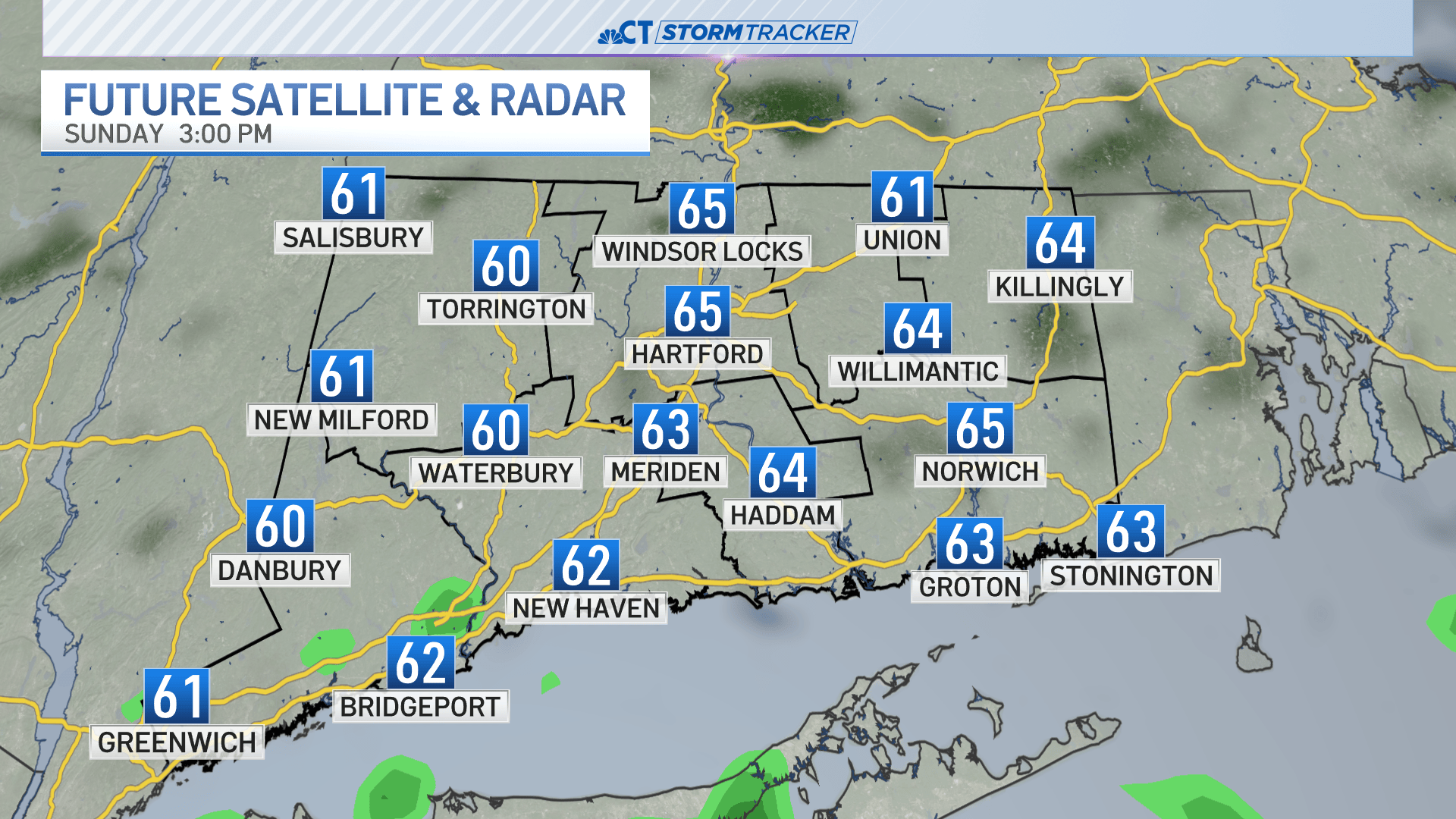
 Hartford & New Haven, CT, October 4, 2026 — Residents in Hartford and New Haven can anticipate a shift in weather patterns as the week progresses, moving from overcast skies and potential precipitation to clearer, cooler conditions.
Sunday is forecast to bring increased cloud cover to both cities, with a possibility of light rain developing. This damp and cloudy start to the week is expected to give way to more active weather on Monday.
Monday’s outlook includes notably breezy conditions. Forecasters predict winds will gust between 25 to 30 miles per hour, potentially making for a blustery day across the region. The increased wind activity is a sign of a weather system passing through.
Following the windy Monday, a period of sunshine is expected to return from Tuesday onwards. Clearer skies will likely prevail, offering a return to more typical autumn weather for the latter half of the week.
However, the cooling trend associated with the return of sunshine also brings a potential risk. Areas within Hartford and New Haven may experience their first frost of the season overnight Tuesday into Wednesday. Residents are advised to monitor local forecasts for specific temperature drops and take necessary precautions for sensitive plants or outdoor preparations.
The transition from rain and clouds to wind and then to clear, colder air marks a significant shift in the regional climate as autumn continues.
Story summarized from the original created by Alexis Clemons on www.nbcconnecticut.com, see more information here.
Media gallery