Meteorologists Monitor Potential Nor’Easter Development Later This Week
Meteorologists are closely monitoring the potential development of a coastal storm, a Nor'Easter, later this week. The system is expected to bring increasing winds by Wednesday and rain to the region by Friday into Saturday, with current uncertainty regarding its…
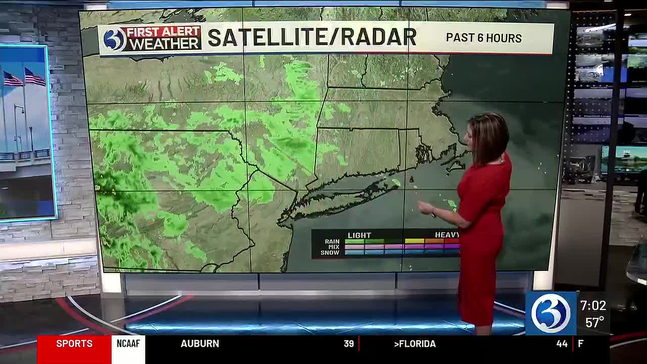
 Hartford & New Haven, CT, September 20, 2026 — Meteorologists are closely observing the potential formation of a significant coastal storm, identified as a Nor’Easter, anticipated to impact the region later this week. The development of this weather system is currently the focus of considerable attention from weather professionals.
Current projections indicate that the storm could begin influencing local weather patterns by mid-week. Specifically, an increase in wind speeds is expected to become noticeable by Wednesday. As the week progresses into the weekend, the system is forecast to bring precipitation to the area.
The anticipated arrival of rain is slated for Friday and is expected to continue through Saturday. However, significant uncertainty remains regarding the precise trajectory and the exact timing of the storm’s landfall and its passage through the region. Meteorologists are continuously analyzing incoming data to refine these forecasts.
The exact track of a Nor’Easter can significantly alter the type and intensity of weather experienced, including wind direction, wind speed, and the total accumulation of rainfall. Changes in the storm’s path could mean shifts in which areas receive the heaviest precipitation or experience the strongest gusts of wind.
While the broad outline of increasing winds and subsequent rainfall is established, specific details such as the exact intensity of the wind, the volume of rain expected, and the precise timing for each phase of the event are still subject to change as the meteorological models evolve. Residents are advised to stay informed as more definitive forecasts become available.
Story summarized from the original created by Tyler Hughes on www.wfsb.com, see more information here.
Media gallery